
Floods have been affecting people in Eastern and Sothern Africa Region through losses of lives and properties. Countries affected by flooding hazards have underdeveloped national meteorological and hydrologic services. The best way to reduce and mitigate these hazards encountered by the communities is through improved prediction of these events. Timely hazard communication, and hydrological forecasting helps to reducing the harmful impacts of floods and associated water-related hazards in the Eastern and Southern African Region. The University of Oklahoma (OU) and NASA Applied Sciences Program’s SERVIR Mission lead efforts to build capacity for monitoring, forecasting, and communicating flood hazards in such developing regions: Advanced Hydrological Modeling and Application Workshops in Nairobi, Kenya and Kampala, Uganda November 18-22, 2019.
The capacity building workshops has used the OU and NASA jointly developed CREST and EF5 hydrological model framework for the SERVIR program. The OU HyDROS group has developed the Regionalized Ensemble Flash Flood Forecasting framework (EF5) for operation over the six countries of Eastern Africa since 2016.
The OU-AST and NASA SERVIR project aspires to support developing countries to mitigate water and water-related disasters through conducting hydrological modeling works using Earth observation satellites and geospatial technologies. The overarching goal of this project is to develop and implement an operational flood forecasting system to mitigate water and water-related disaster and conduct prediction and alerting communication using the Amazon Simple Notification System (Amazon SNS).
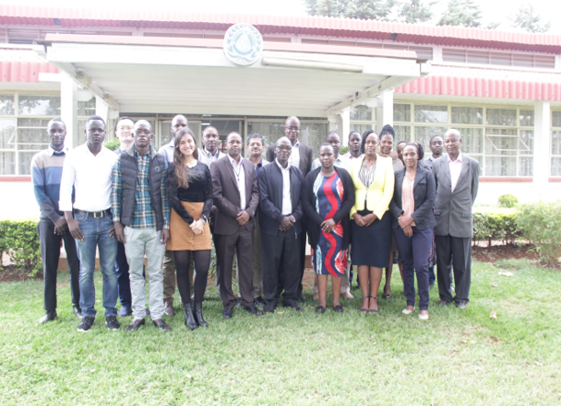
The workshops involve regionalized EF5 hydrological modeling applications and introductions to hydrological concepts, GIS techniques, hydrological remote sensing concepts including rainfall and PET, manual calibration, automatic calibration, interpreting and using model output, DEM practice, calibration practice, Inundation modeling, and multiple gauges analysis. The EF5 model was installed and practiced by the workshop participants so that they can understand how GIS software can be used to help hydrological analysis. The regionalized EF5 hydrological model applications were also covered during the workshop through developing a flash flood threshold using global model and satellite forcings to push alerting notification to potentially save life and properties. The regionalized EF5 hydrological modeling flooding event alerting communication was linked with the Amazon SNS to push notification to RCMRD and end-users through disseminating text and e-mail messages. The workshop helped users and stakeholders familiar with EF5 and hydrological modeling and finally the EF5 modeling deployed at RCMRD. Over all, thirty-three (33) experts attended the EF5 workshop both in Kenya and Uganda. At the end of the workshop, the RCMRD Director, Dr. Emmanuel Nkurunziza, gave closing remarks and the workshop participants received certificates.